Arctic Circle Tour 2017
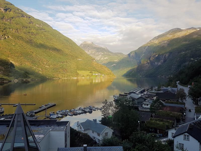
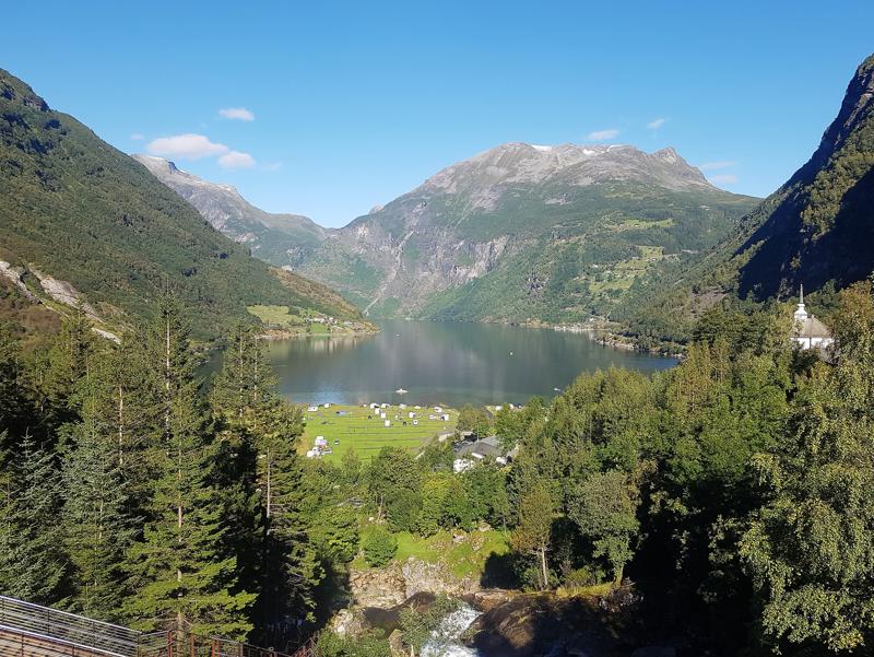
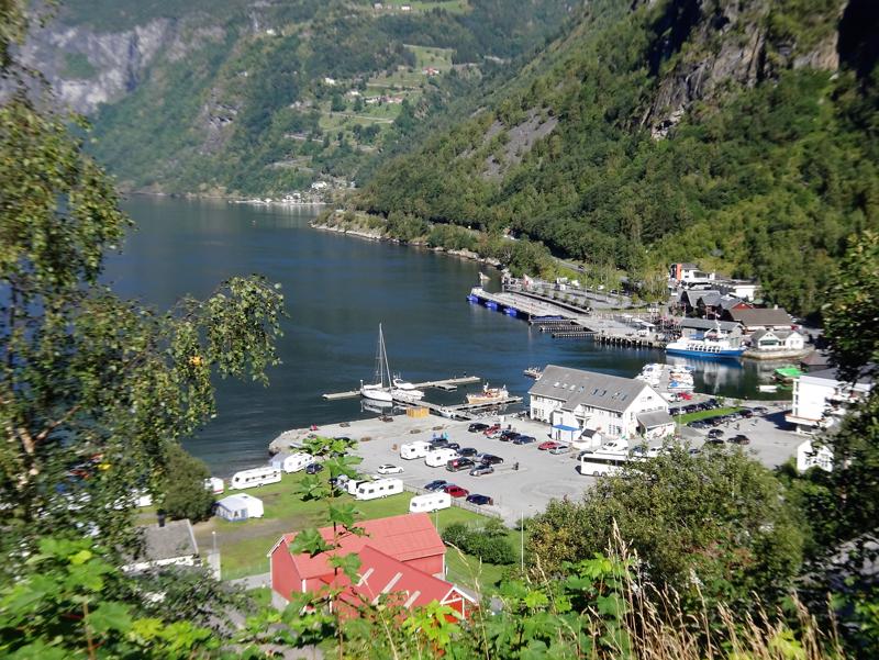
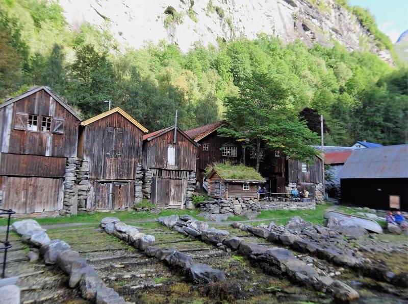
On Day 12 of the tour we travelled to Geiranger a small village at the end of Geirangerfjord which situated off the Sunnylvsfjorden a branch of the Storfjorden - a little information for those who are familiar with Norwegian geography (Ranveig).
It was a beautiful drive from Trondeim to Geiranger township, a world heritage site. The drive was over 7 hours long and we took ferries
Arctic Circle Tour - Trondheim to Geiranger Area, Norway
August 31, 2017
|
Trondheim to Geiranger Area, Norway
On Day 12 of the tour we travelled to Geiranger a small village at the end of Geirangerfjord which situated off the Sunnylvsfjorden a branch of the Storfjorden - a little information for those who are familiar with Norwegian geography (Ranveig).
It was a beautiful drive from Trondeim to Geiranger township, a world heritage site. The drive was over 7 hours long and we took ferries
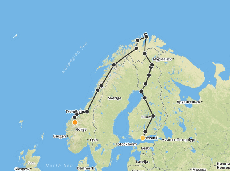
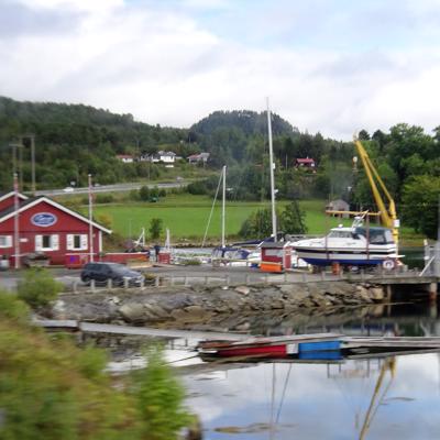
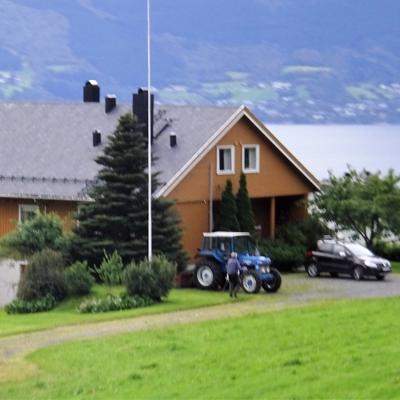
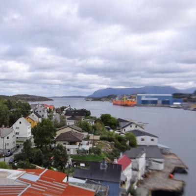
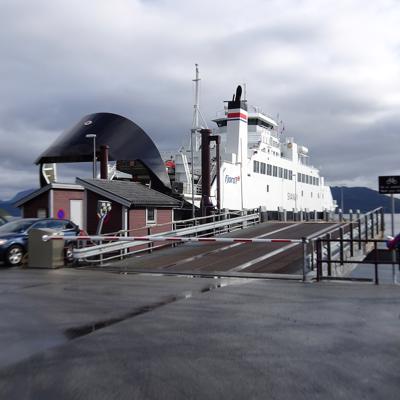
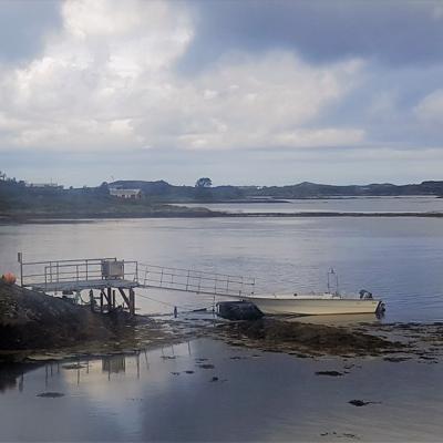
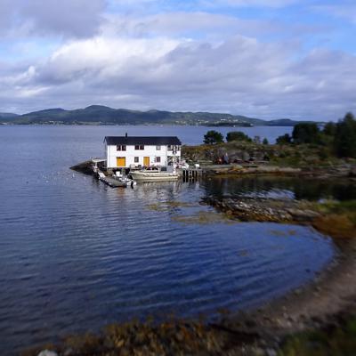
and crossed bridges to skirt the coast. Really spectacular. It has been such a challenge to delete some of the 375 photos taken during this part of the trip.
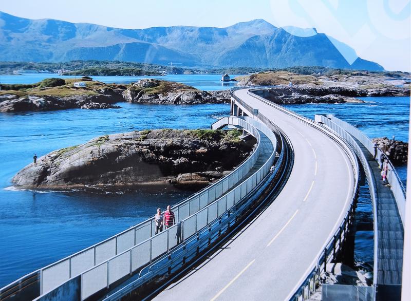
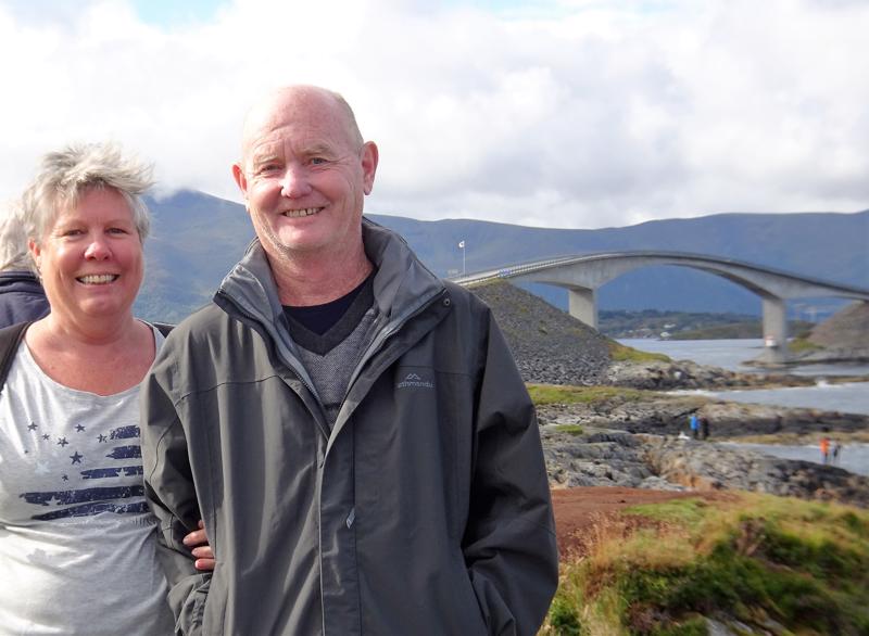
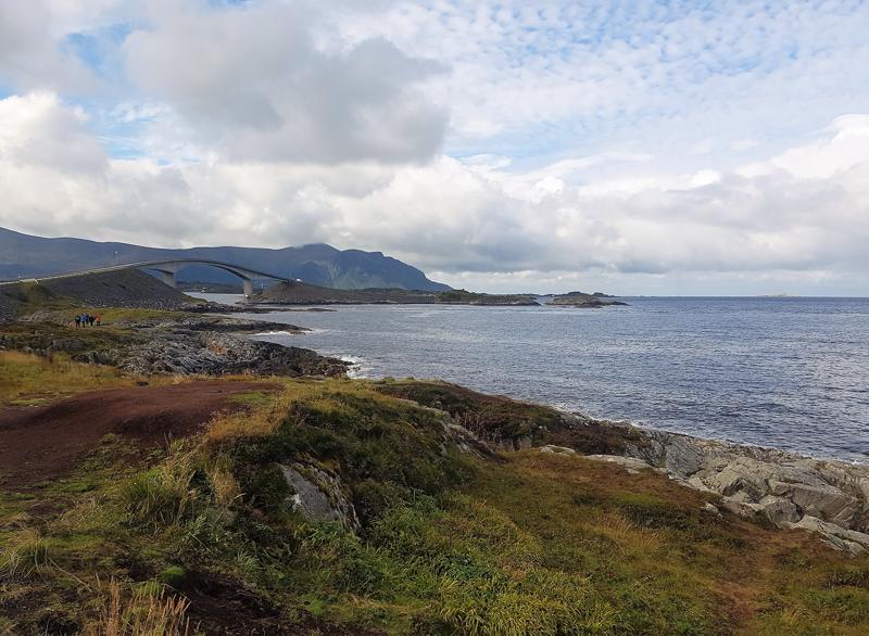
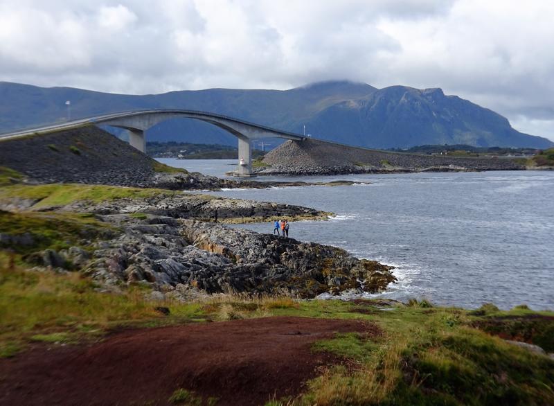
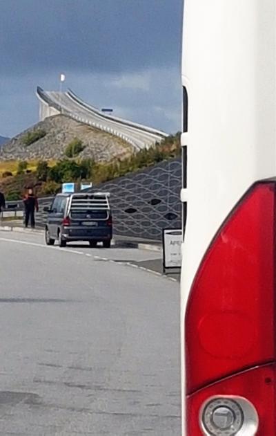
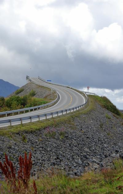
We travelled via the Atlantic Road from Kristiansund to Molde. This is an 8.3 km road that runs through an archipelago thus the many bridge crossings from island to island . The most prominent bridge is Storseisundet Bridge. We stopped at a scenic viewpoint and took multiple photos and looked out to the Norwegian Sea. It was windy and very brisk. Our tour guide Suzanne spent quite a bit of time telling us how she dives in the water here and was a front page story in the local newspaper.
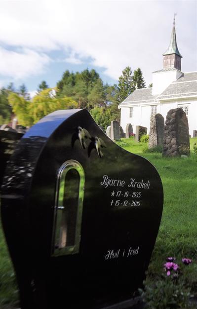
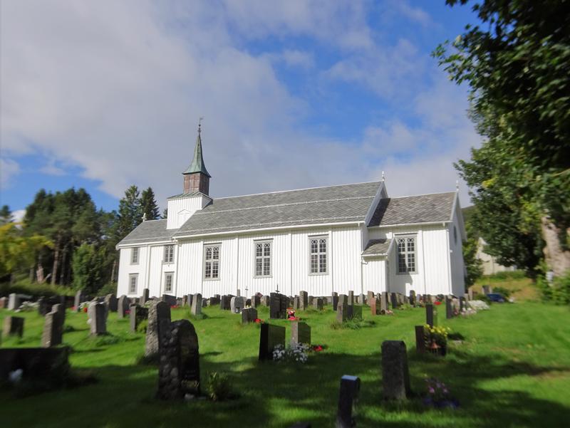
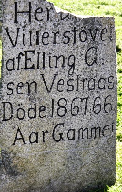
We stopped at a small town for lunch and spent some time looking at the cemetery with a view to die for (sorry).
Finally in the Geiranger region, the final leg (Eagle Road) was very scenic comprising of 11 hairpin turns and decending over 600 m in 3 kms. Good work Arne. Don’t tell John but I’ve since found out this section of road is part of Trollstigen Highway and is also known as Troll’s Way.
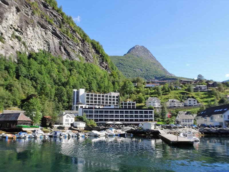
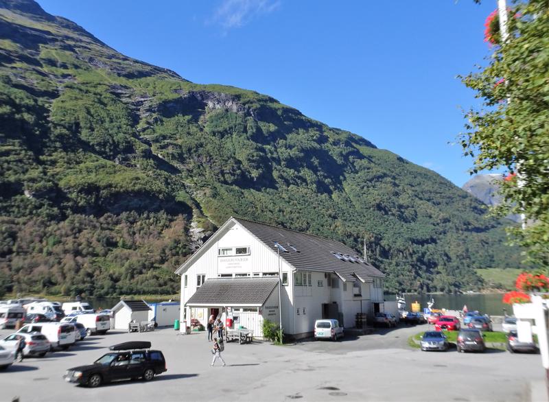
We arrived at our accommodation, Hotel Geiranger, and had a beautiful buffet with so many beautiful variations of salmon, trout, herring and other local fish dishes. The hotel was situated looking over the fjord and there were beautiful views from all the common rooms and elevators; our room overlooked a fine-looking car park.
By now the Macleay Valley group were in full bad behaviour mode with one man trying to get medical advice from a retired doctor
travelling with us; the 2 ladies sitting behind us had developed an opinion on every passenger on the bus; 3 wayward ladies were secretly using the bus toilet as soon as the coach driver got out to help other guests (a big no no), and there was open rebellion at the buffet One of our ladies was so hungry at dinner that she took the food off the serving spoon I was using before I could get it on my plate.
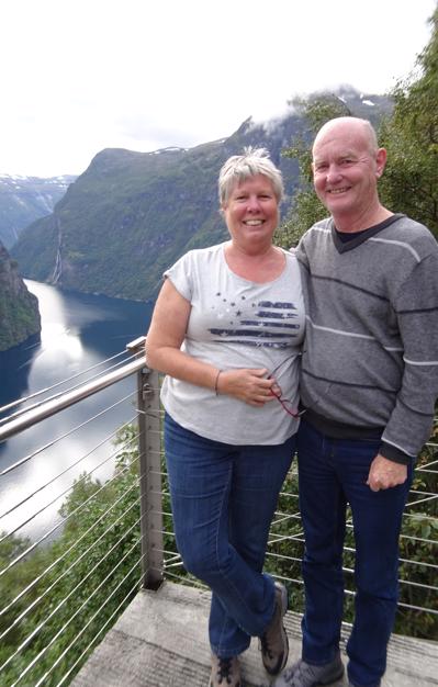
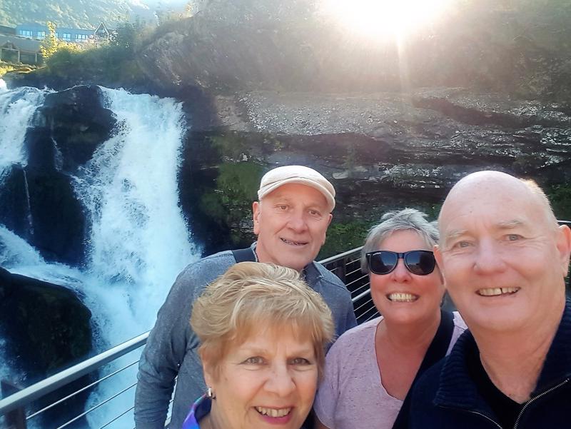
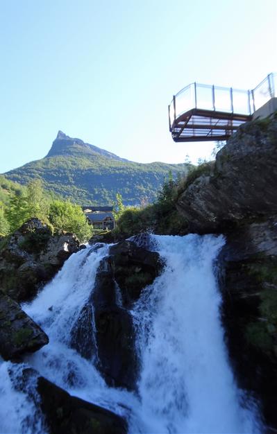
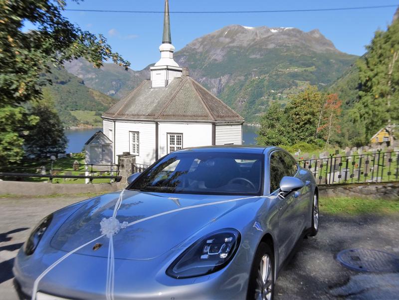
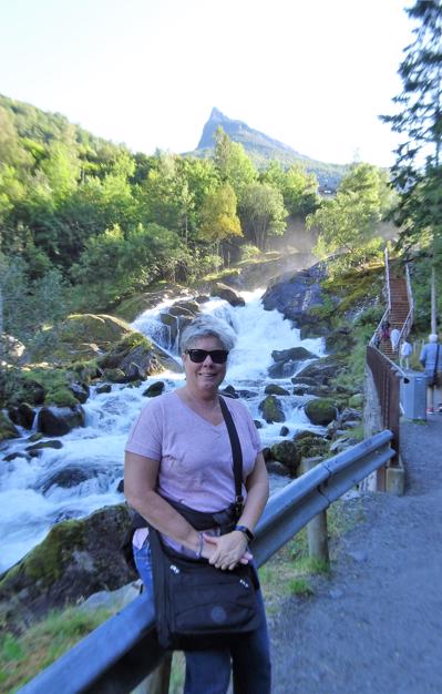
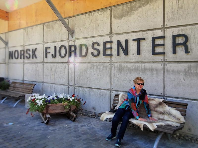
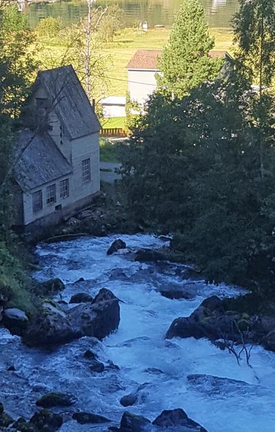
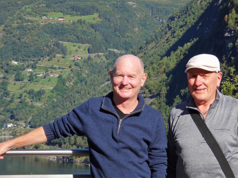
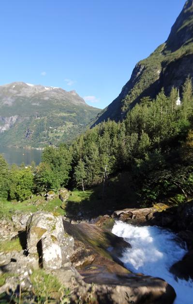
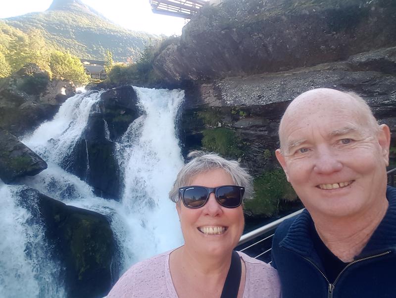
The next morning we went exploring the town with Dawn and Ric walking up the Waterfall Walk. The 327 stairs that hug the Storfossen waterfall end up at the Norwegian Fjord Centre. The view from the top was incredible (as is everything) and the day was perfect. There was a little church at the top of the hill and outside a Ferrari was wrapped up like a gift. Dawn thought it was for us but it was probably a gift for the bride as we could see preparations for an afternoon wedding.
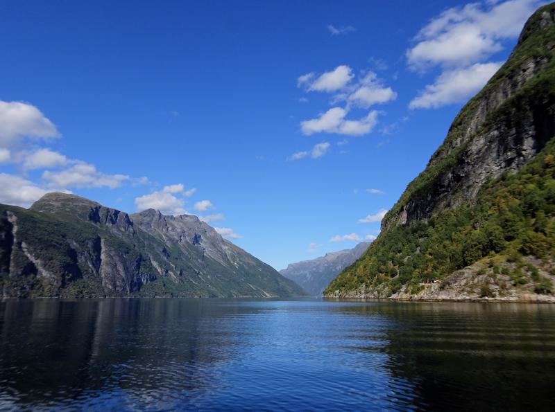
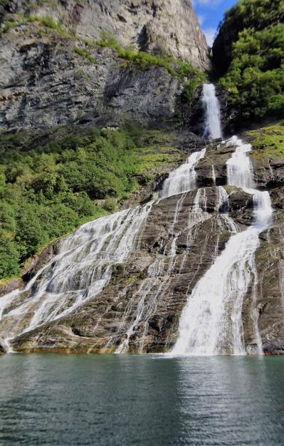
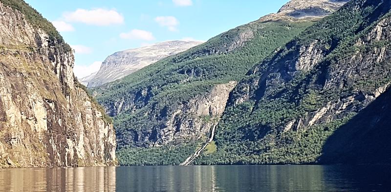
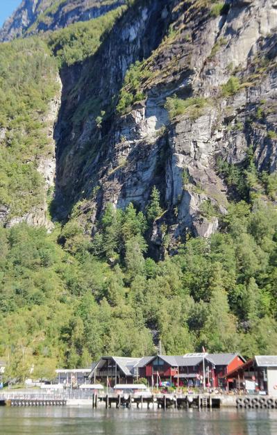
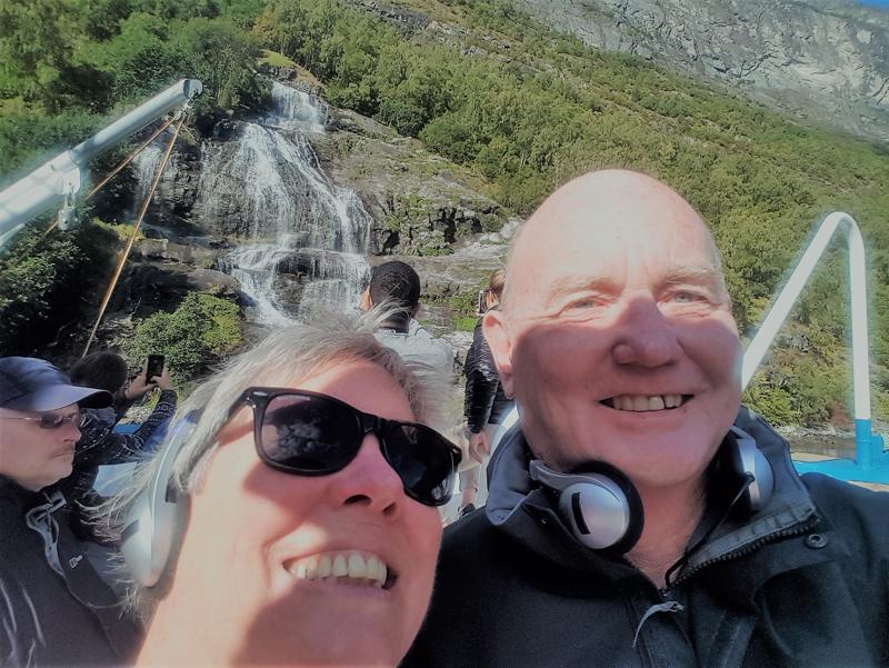
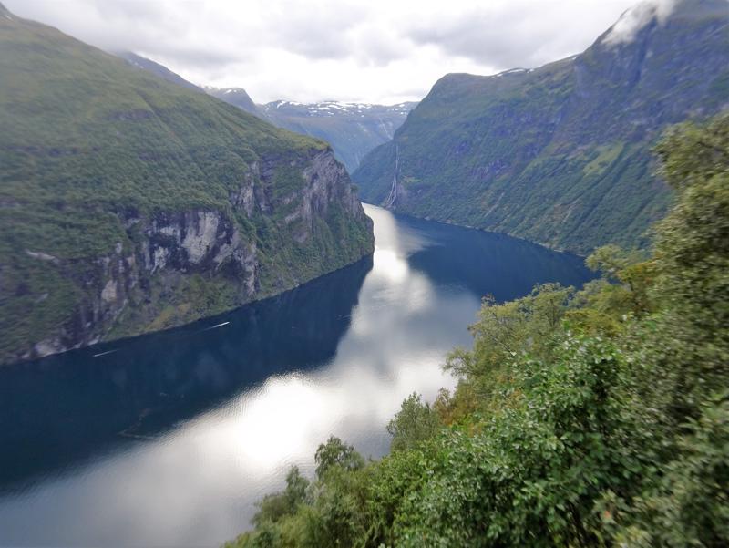
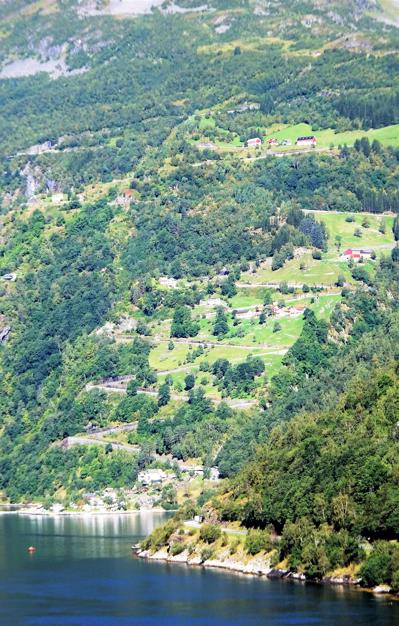
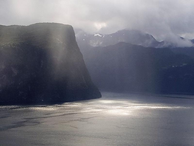
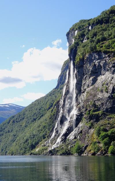
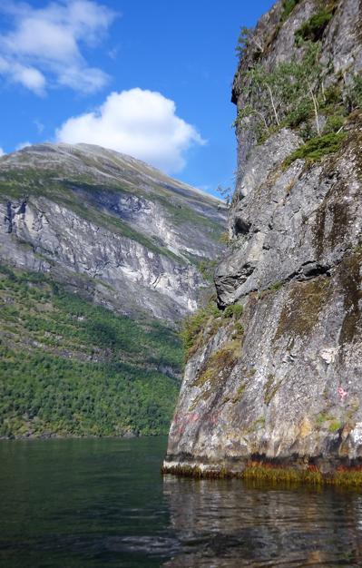
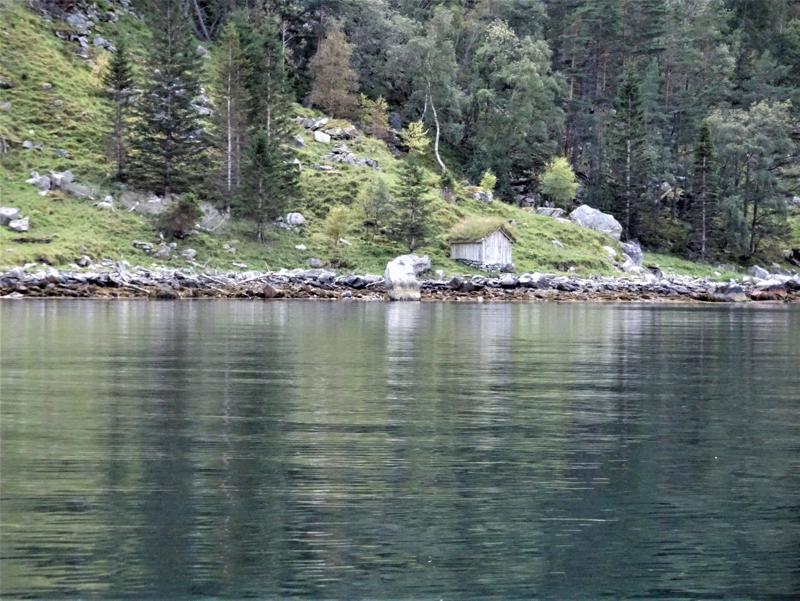
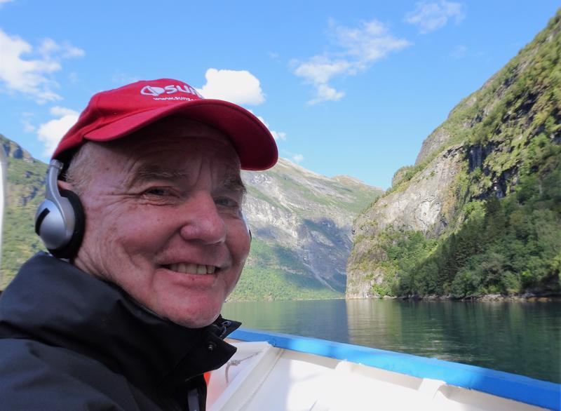
In the afternoon we took a Fjord Cruise. This was also amazing. The sides were very steep although there were some abandoned farms (now being restored) where, in the past, hearty families had lived. There are really impressive waterfalls such as the Seven Sisters Falls, the Suitor and the Bridal Veil. It sounds like there was a bit of an issue finding members of the opposite sex in this part of the world.
We heard about how Geirangerfjord is under constant threat form one of the mountains that is about to erode into the fjord. In the 30's a nearby fjord suffered from a landfall resulting in a 64 m high tsunami wave. There is a crack on the side Aknesfjallet mountain (900 m) that is 700 m long and 3 0m wide growing by up to 15 cm a year. They estimate the subsequent landslide into the fjord will produce a tsunami of (only) 30 m which will wipe out several towns within 10

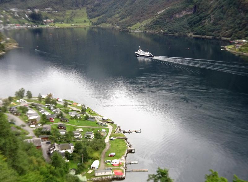
minutes. It is probably difficult to get house insurance here.
The residents, apparently are confident that they are safe as the mountain is the most monitored in the world watched by webcam and equipment that monitors movement, weather, snow depth and seismic sensors. One sensor goes 150 m into the mountain. Geologists expect to be able to give residents 72 hours warning. Plenty of time!
We continued the fjord tour and soon forgot about the potential for
imminent disaster – the area is just stunning. It might have been at this point that Ric admitted the scenery here was possibly better than in New Zealand – obviously a difficult statement for him to make.
Afterwards we spent a some time exploring the waterfront, streets
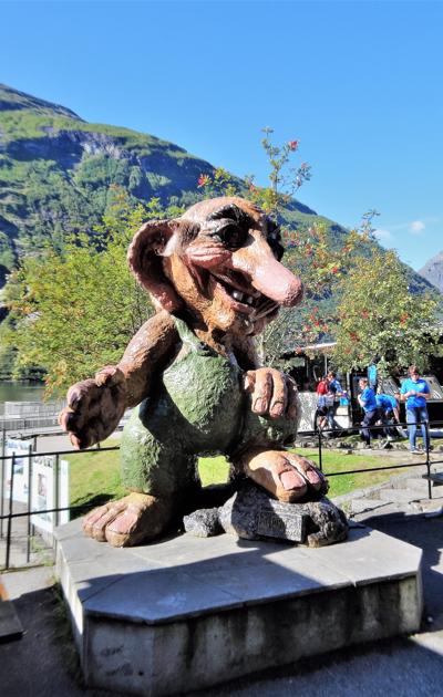
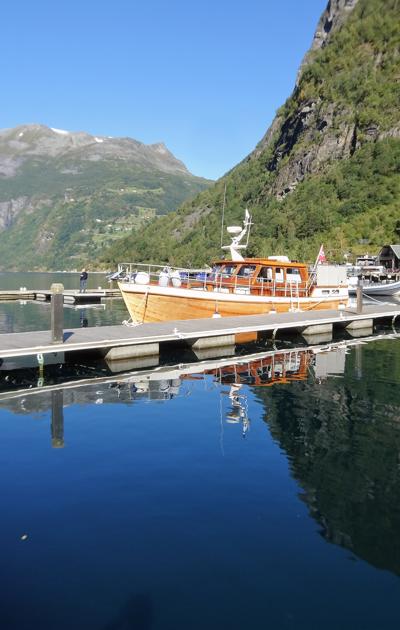
and shops in Geiranger. Unfortunately John found another Troll and again went out of his way to make fun of it. We had dinner at our hotel and prepared for the next leg of the tour.
Next: Arctic Circle Tour – Geiranger Area to Lillehammer, Norway
1.
Arctic Circle Tour - Limoux to Helsinki
2.
Arctic Circle Tour - Tallinn, Estonia
3.
Arctic Circle Tour - Helsinki, Finland
4.
Arctic Circle Tour - Helsinki to Kuopio, Finland
5.
Arctic Circle Tour - Kuopio to Rovaniemi, Finland
6.
Arctic Circle Tour - Rovaniemi to Saariselka, Finland
7.
Arctic Circle Tour - Saariselka, Finland to Honningsvag, Norway
8.
Arctic Circle Tour - Honningsvag to Alta, Norway
9.
Arctic Circle Tour - Alta to Narvik, Norway
10.
Arctic Circle Tour - Narvik to Mo I Rana, Norway
11.
Arctic Circle Tour - Mo I Rana to Trondheim, Norway
12.
Arctic Circle Tour - Trondheim to Geiranger Area, Norway
13.
Arctic Circle Tour - Geiranger to Lillehammer, Norway
14.
Arctic Circle Tour - Lillehammer to Oslo, Norway
Share your travel adventures like this!
Create your own travel blog in one step
Share with friends and family to follow your journey
Easy set up, no technical knowledge needed and unlimited storage!